Travel Blog
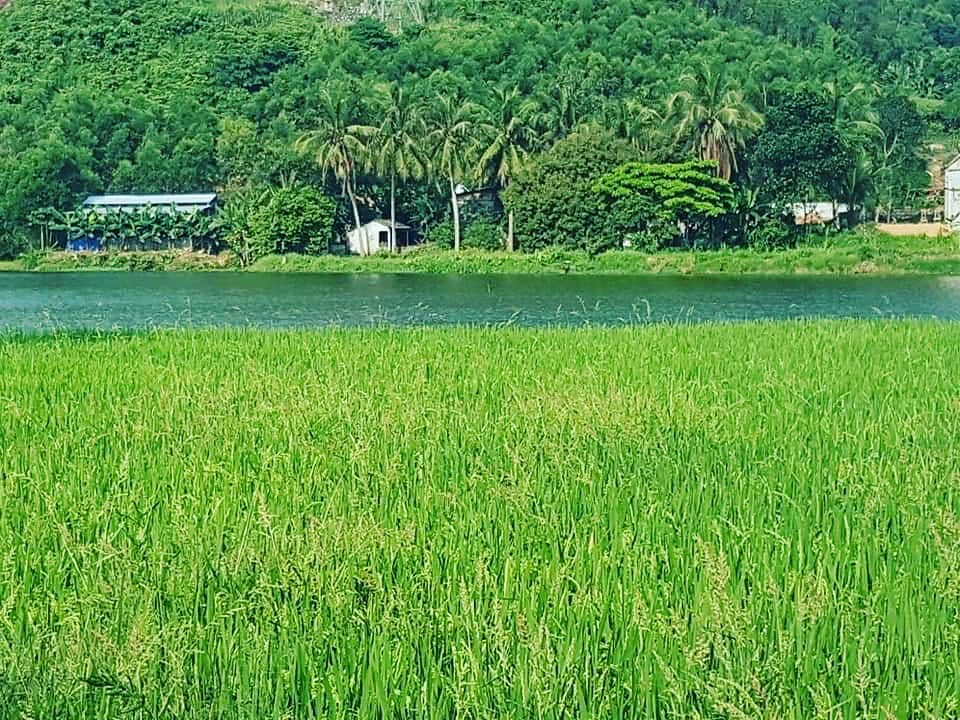
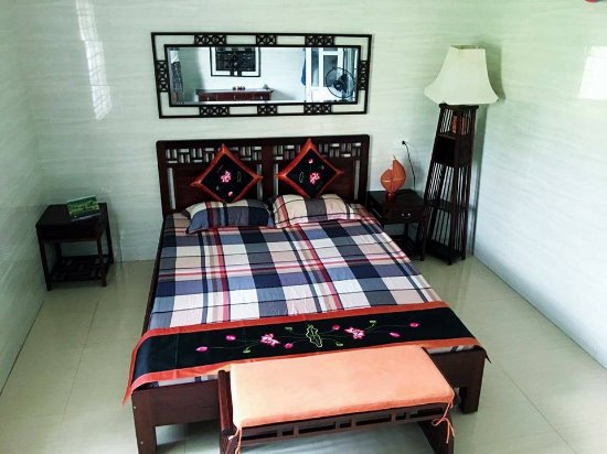
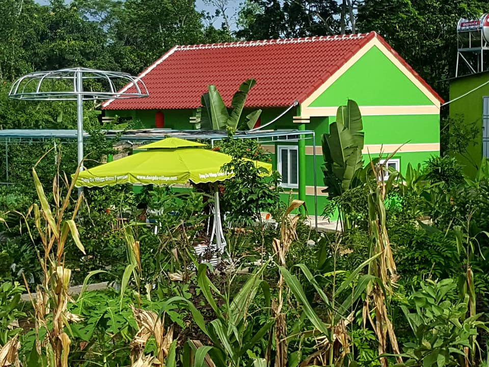
Dong Du Village Lakeside Farmstays

Let's explore Western Nghe An and Pumat Natural Park
Updated: 24/3/2020 | 12:29:38 PM
Pù Mát National Park (Vietnamese: Vườn quốc gia Pù Mát) is a national park in Nghệ An Province, in Vietnam's North Central Coast region. It is part of the Western Nghệ An Biosphere Reserve.
Permanent/seasonal: 473,822 people
10.1 Core zone: 0 people
- Core zone of Pu Mat: 1,100
- Core zone of Pu Huong: 0
- Core zone of Pu Hoat: 0
10.2 Buffer zone: 200 926 people
- Buffer zone of Pu Mat: 93,335 people
- Buffer zone of Pu Huong: 49,699 people
- Buffer zone of Pu Hoat: 57,892 people
10.3 Transition zone: 272.896 people
10.4 Summarized presentation on local community in and near the proposed biosphere reserve:
Most of population in the proposed biosphere reserve is Thai ethnic group (68.89%) and a small number of O Du ethnic groups (0.6%). Living in 3 districts in Pu Mat National Park region belongs to 3 main ethnic groups: Thai, Kho Mu, Kinh and other ethnic groups such as: Tay, H’ Mong, O Du. The whole population in 16 communes belong to Pu Mat National Park contains 16 954 households with a population of 93 335 people. Most of inhabitants are distributed in 7 communes in Con Cuong district (a population of 39 419 in 7 167 households) and 5 communes in Anh Son district (a population of 38 163 in 6 938 households). The rest belong to 4 communes in Tuong Duong district (a population of 15 753 in 2 849 households), each household has 4 - 5 peoples on average. The number of people who have 3 or 4 children is still widespread, which put pressure on population growth problem in coming years.
|
Name of ethnic group |
Number of household |
Number of people |
% |
|
Thai |
11 338 |
62 435 |
66.89 |
|
Kho Mu |
1984 |
13 765 |
14.75 |
|
Kinh |
2531 |
10.498 |
11.25 |
|
H’Mong |
599 |
3 714 |
3.98 |
|
Dan Lai |
265 |
1 494 |
1.60 |
|
Poong |
132 |
813 |
0.87 |
|
O Du |
96 |
563 |
0.60 |
|
Other ethnic group |
9 |
53 |
0.06 |
|
Total |
16 954 |
93 335 |
100.00 |
Pu Huong Nature Reserve is divided between twelve administrative communes belong to 5 districts: Cam Muon, Quang Phong communes (Que Phong district), Chau Thanh, Chau Cuong, Chau Thai communes (Quy Hop district), Chau Hoan, Dien Lam communes (Quy Chau district), Binh Chuan (Con Cuong district), and Nga My, Yen Hoa, Yen Tinh, Huu Khuong communes (Tuong Duong district), contiguous to the boundary of Nature Reserve with an area of 110,883 ha. There are 4 ethnic groups living in the buffer zone of Pu Huong Nature Reserve which are Kinh, Thai, Kho Mu and H’Mong, contains 8,535 households with a population of 49,699 people. They live near the boundary of Nature Reserve.
The whole communes in the buffer zone of Nature Reserve are remote communes which are very poor in the 135 program. Inhabitants mainly work in agriculture sector, producing food in small scale, cattle grazing and logging. Economic activities are based on natural resource. Advanced technology in agriculture has not been received adequate attention. Agricultural product prices are unstable. Consequently, local people’s income is generally low. Labor capacity is relatively poor; productivity is therefore not high. There are number of jobless people during leisure after harvest time.
Infrastructure like traffic system, schools, hospitals in the buffer zone have not fully supported the local community. Most of these are not electrically installed causing difficulties in economic development and cultural exchange.
10.5 Names of main town(s) and townlet(s):
- Con Cuong townlet
- Tuong Duong townlet
- Quy Hop townlet
Human culture – culture specific characteristics of the entire region belong to Thai ethnic group. Besides, the special native culture belong to the original point value of O Du ethnic group. This is a clan which had brilliant culture in the confluence of Nam Non – Nam Mo – Ca river from 11th century and earlier. According to the statistic data of Nghe An province (30 December 2003), show that O Du ethnic group has the population of 528 people. They live in poor condition.
Culture character of mountain village in the proposed biosphere reserve such as Muong Phiet, Muong Dan, Ban Loc bring cultural value quite abundant by the manner of expressing sentiment, dress, clothing in festivals and weekdays. Thai ethnic group still conserve their manners and customs and preserve the national character. House on stilts which have timber-roofed can acttract tourist such as Mai Chau, Hoa Binh province. Along the way to Pu Hoat, there are tens of spectacular water reels. Compatriot still cultivate cotton and weave brocade. When visitors come to visit, they are invited to drink ’ruou can’(wine drunk out of a jar through pipes).
Ethnic Dan Lai compatriot lives in 3 mountain village which are situated in the upper reaches of Khe Khang, Giang river. It’s 60km far from Con Cuong district. The material and spiritual life of the local people is poor. Social-economic has not been developed. Intellectual standards of local people are low. They depend on forest. This activity includes forest clearance for cultivation and illegal timber extraction, wild animal hunting. Infrastructure like traffic system, schools, hospitals have not fully supported the local community. In order to raise the living standard, ensure the existence and development of Dan Lai ethnic group as well as protect natural resource of Pu Mat National Park, resettlement the Dan Lai ethnic group is very necessary.
Thai ethnic group live in the field-valley of tropical monsoon highland in the west and northwest of North Vietnam. The typical features if this zone includes warmth, humidity. Compatriots mainly cultivate rice. Beside, each household has economic activities such as cattle grazing, fowls rising, secondary jobs: woodwork, weave fabric, fishing, hunting.
Climate has 2 distinctive seasons. The dry season lasts from November to the next May (from April to October – Thai calendar, the rainy season from the end of May to the end of October (from October to March - Thai calendar).
Table 11: The cultural geography factor of Ca river valley belong to the proposed BR
|
Along Hieu river enter to Ca river |
Thai ethnic group culture in Kim Son, Que Phong Festival, culture of Kho Mu, H’ Mong and Kinh ethnic groups |
|
Along Nam Non river to Nam Mo river junction enter to the upper of Ca river |
Daily activities of O Du ethnic group Vestiges of O Du ancient culture Exchanges Festival on the river, catch fish Ban Ve Hydroelectric Plant |
|
Along Ca river from Cua Rao down Ky Son, Tuong Duong, Con Cuong, Anh Son regions |
Interfere and combined culture value of ethnic groups: Thai, Kinh, Kho Mu Cultivation mode of ethnic groups Space distribution of townlet, district, village |
|
Khe Thoi, Khe Choang, Nam Non upriver, conquer the peak of Pu Hoat, Pu Huong, Pu Mat mountains |
Residence in the ancient time of Kho Mu, O Du, Dan Lai ethnic groups To learn about the native knowledge system |
(Source: Dong Du Eco Farmstay)
Other news
- Annamite Range - Western Nghe An
- The biodiversity of Western Nghe An Biosphere Reserve
- Explore Western Nghe An while staying in Dong Du Eco Farmstay
- For a green Lan Ha bay & Halong Bay
- A Different Way of Life in Cai Beo Fishing Village - Lan Ha Bay
- Phu Xai Lai Leng mountain
- Le sommet Phu Xai Lai Leng et la Chaîne Annamitique
- Unique and authentic homestay tours delight foreigners in Thai Hoa and Quy Chau, Nghe An
- Découverte du parc national de Pù Mat- réserve biosphérique mondiale
- Discover Pu Mat Natural Park and Fatherland of HCM